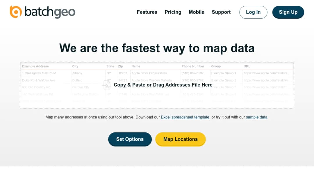
BatchGeo is a browser-based spreadsheet-to-map tool that converts lists of addresses or locations (from Excel/CSV/Google Sheets-style tabular data) into interactive Google Maps with markers, grouping, basic analytics layers (for example, heatmaps), sharing/embedding, and limited route optimization. Its primary capability is geocoding and visualization of tabular address data without requiring GIS expertise or custom code. Typical uses include territory visualization, member/customer mapping, basic routing, and lightweight location analytics.