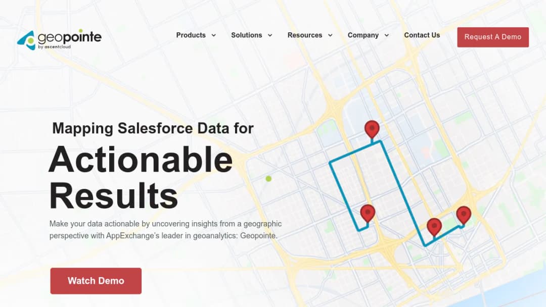
Geopointe is a geolocation, mapping, and geo-analytics application that runs inside Salesforce. It helps teams visualize CRM records on a map, plan routes, design and manage territories, perform proximity searches, and integrate location-based insights into Salesforce workflows. The application operates as a Salesforce-native mechanism for exposing geographic attributes of CRM data to sales, operations, and marketing workflows.
Key functional themes identified across vendor materials and reviews include:
- Mapping Salesforce records (accounts, contacts, opportunities, custom objects) for visualization and analysis
- Territory design and management using shape tools and boundary libraries
- Routing and route optimization, including multi-day planning via an add-on (Route Planner)
- Operational workflow actions initiated from map results (for example, updating records and check-ins)
(Primary vendor positioning emphasizes "location-enable Salesforce" and "geoanalytics," with focus on route and territory enablement.)