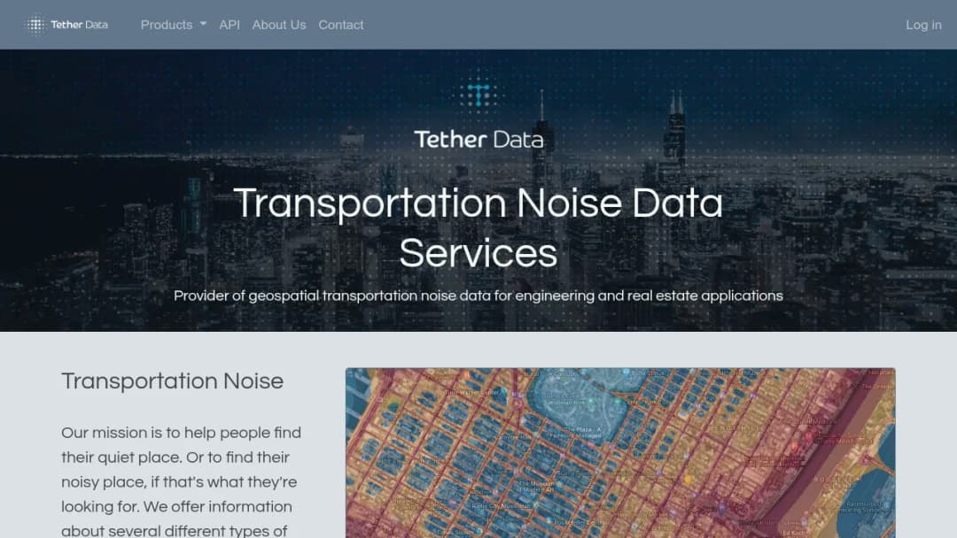
Tether Data provides geospatial transportation noise datasets and services for quantifying and visualizing noise exposure from transportation sources. The offering is presented as data-as-a-service for engineering and real estate workflows, supporting site evaluation, underwriting context, planning, and consumer-facing noise-context features.
Based on vendor materials, key noise sources covered include:
- Road traffic noise
- Railroad noise
- Railroad crossings
- Emergency vehicle sources
- Aviation noise
Tether Data provides multiple delivery modes:
- Noise Maps: tiled overlays intended to be embedded into applications.
- Location Noise Profiles: per-location summaries (API-driven), described for real estate buyer/renter decision support.
- Bulk data: large sets of locations or areas.
- Geospatial analyses: custom deliverables like GeoTIFF and map products.
Important caveat: Vendor materials state road and railroad noise are modeled independently and use standards-based noise algorithms, but public-facing pages provide limited methodological details such as referenced standards, calibration/validation approach, and uncertainty bounds.