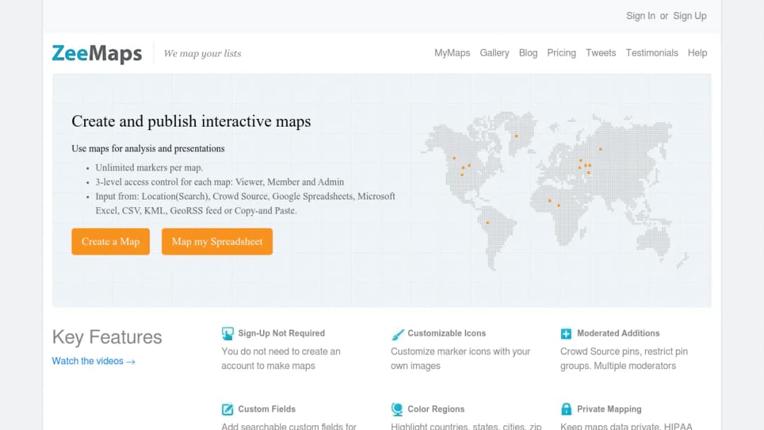
ZeeMaps is a web-based mapping application for creating, publishing, and sharing interactive maps built from location lists and geographic datasets. Typical workflows include importing addresses/locations from spreadsheets (CSV/Excel/Google Sheets), adding custom fields, grouping markers, highlighting regions (e.g., zip codes/counties/states), and producing embeddable maps and high-resolution map images (PDF/PNG) for presentations and print. The product is positioned for both organizational and individual users who need quick, no-code mapping.
Key capability areas (from vendor materials):
- Import from spreadsheets/CSV and common geospatial formats (e.g., KML)
- Marker groups/legends, custom fields, and map entry lists
- Search and geo-search (filtering + distance-based search)
- Region highlighting (administrative areas + hand-drawn)
- Map image export (PDF/PNG at various DPI)
- Basic route planning / multi-point routing and route optimization ("Trip Planner")
- Privacy controls for maps and role-based access (Viewer/Member/Admin)
(Official product description and features are primarily presented on the vendor's marketing and documentation pages.)